
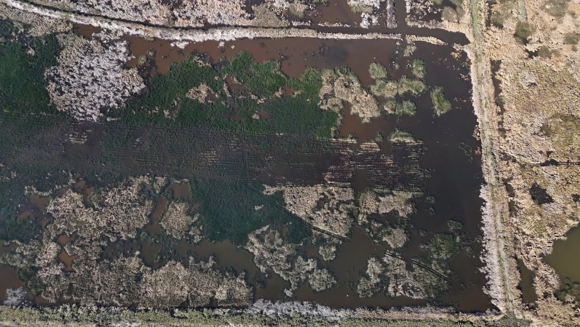
Aerial Mapping & Property Surveys
Capture detailed aerial views of large properties for planning, documentation, and land management — plus professional aerial photography and video.
Request Drone ServicesAerial Mapping & Property Surveys
Capture detailed aerial views of large properties for planning, documentation, and management.
- Hunting property mapping
- Timberland mapping
- Acreage documentation
- Property overview imagery
- Progress documentation
- Land management planning
Aerial Photography & Video
Professional aerial photography and video for a wide range of properties and uses.
See Your Property Like Never Before
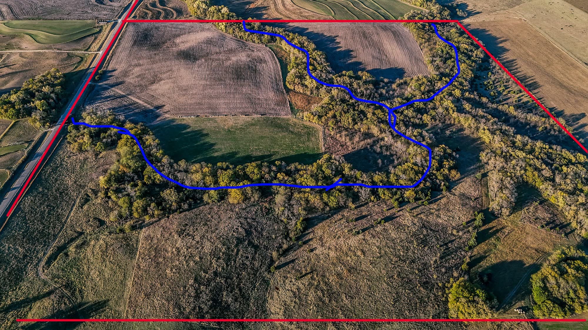
We capture a fresh aerial of your land and mark it up so it's easy to plan from. In this example, the red lines show the property boundary and the blue lines trace trails and travel routes through the timber.
Use it to plan stand and blind locations, food plots, access roads, and timber work — or to show buyers exactly what a listing includes.
Smooth, Cinematic Footage
Real clips from our flights — the same quality we bring to listings, outfitters, and property marketing.
Pricing
Mapping from $500
Any acreage. The $500 minimum covers up to 1,000 acres, then $0.50 per additional acre. Aerial photo & video is quoted per project.