
Thermal Drone Services Across Louisiana & Mississippi
Apex Drone Solutions serves all of Louisiana — from South Louisiana and Acadiana, through Central and North Louisiana — plus western and central Mississippi. We travel to your property for thermal drone recovery, lost animal location, wildlife monitoring, and aerial surveys on hunting ground, rural land, and large acreage.
We Come to Your Land
We're based in Louisiana and serve properties across the entire state — South Louisiana and Acadiana, Central Louisiana, and North Louisiana — along with neighboring western and central Mississippi. If your property sits in the region, we'll come to you.
Much of our work happens on hunting properties, rural land, and large acreage where getting eyes on the ground is slow and difficult. Thermal drone deer recovery, lost animal location, and wildlife surveys are our specialty — and we travel to reach remote and hard-to-access properties across the region.
Key Service Regions
We serve the areas below and the rural land in between. These are regions — not offices. We travel to your property, wherever the access is.
South Louisiana
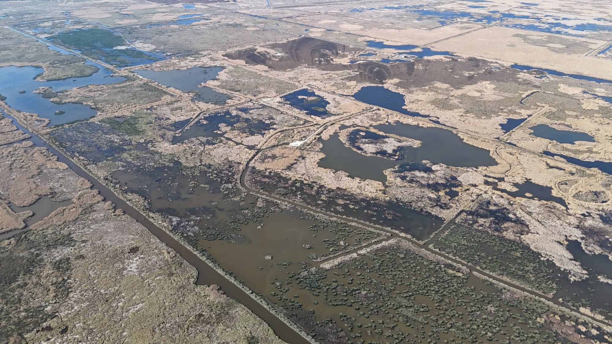
Bayou country, coastal marsh, sugarcane acreage, and river-bottom hunting land.
Example areas
Lafayette, New Iberia, Crowley, Abbeville, Eunice, Houma, Thibodaux
Acadiana
Prairie and mixed-pine rural properties, cattle and horse pasture, hunting tracts.
Example areas
Opelousas, Ville Platte, Eunice, Church Point, Mamou, St. Landry Parish
Central Louisiana
Piney woods, hardwood bottoms, and large-acreage hunting and timber properties.
Example areas
Alexandria, Natchitoches, Marksville, Pineville, Avoyelles Parish, Winnfield
North Louisiana
Timberland, river bottom, and upland hunting ground across large rural acreage.
Example areas
Shreveport, Monroe, Ruston, Minden, Bastrop, Winn Parish
Western Mississippi
Bluff country and Delta farmland with big timber and hunting properties along the river.
Example areas
Natchez, Vicksburg, Greenville, Rolling Fork, Port Gibson
Central Mississippi
Mixed pine and hardwood, recreational tracts, and rural land across the metro and beyond.
Example areas
Jackson, Madison, Canton, Yazoo City, Brandon, Rankin County
Thermal Recovery & Wildlife Work
On hunting properties and rural land, the jobs that matter most are the hard ones — and that's where thermal drones make the difference.
Thermal Drone Recovery
Thermal drones locate mortally wounded deer after legal hunting hours, across thick cover and difficult terrain — following Louisiana's recovery rules.
Lost Animal Location
Aerial search support for escaped livestock, working dogs, and missing pets over large acreage and hard-to-reach ground.
Wildlife Surveys
Aerial surveys and thermal detection for herd monitoring, habitat observation, and game management on rural properties.
Not Sure We Cover Your Property?
Tell us your location and what you're trying to accomplish. We serve all of Louisiana and western & central Mississippi — and we travel to reach the hunting ground, rural land, and large acreage that needs it most.