
Wildlife & Thermal Drone Services
A valuable aerial perspective for managing wildlife and hunting property — from surveys and herd monitoring to thermal detection across difficult terrain.
Request Drone ServicesWildlife Drone Surveys
Drone technology can provide a valuable aerial perspective when managing wildlife and hunting property — on properties of any size, from small tracts to thousands of acres.
- Wildlife surveys
- Herd and habitat documentation
- Thermal wildlife detection
- Herd monitoring
- Wildlife population observations
- Habitat monitoring
- Hunting property surveys
- Game management assistance
Any acreage — no size limit
Surveys start at $1,000 for the first 1,000 acres, then $1 per additional acre. Estimate your survey
Thermal Drone Services
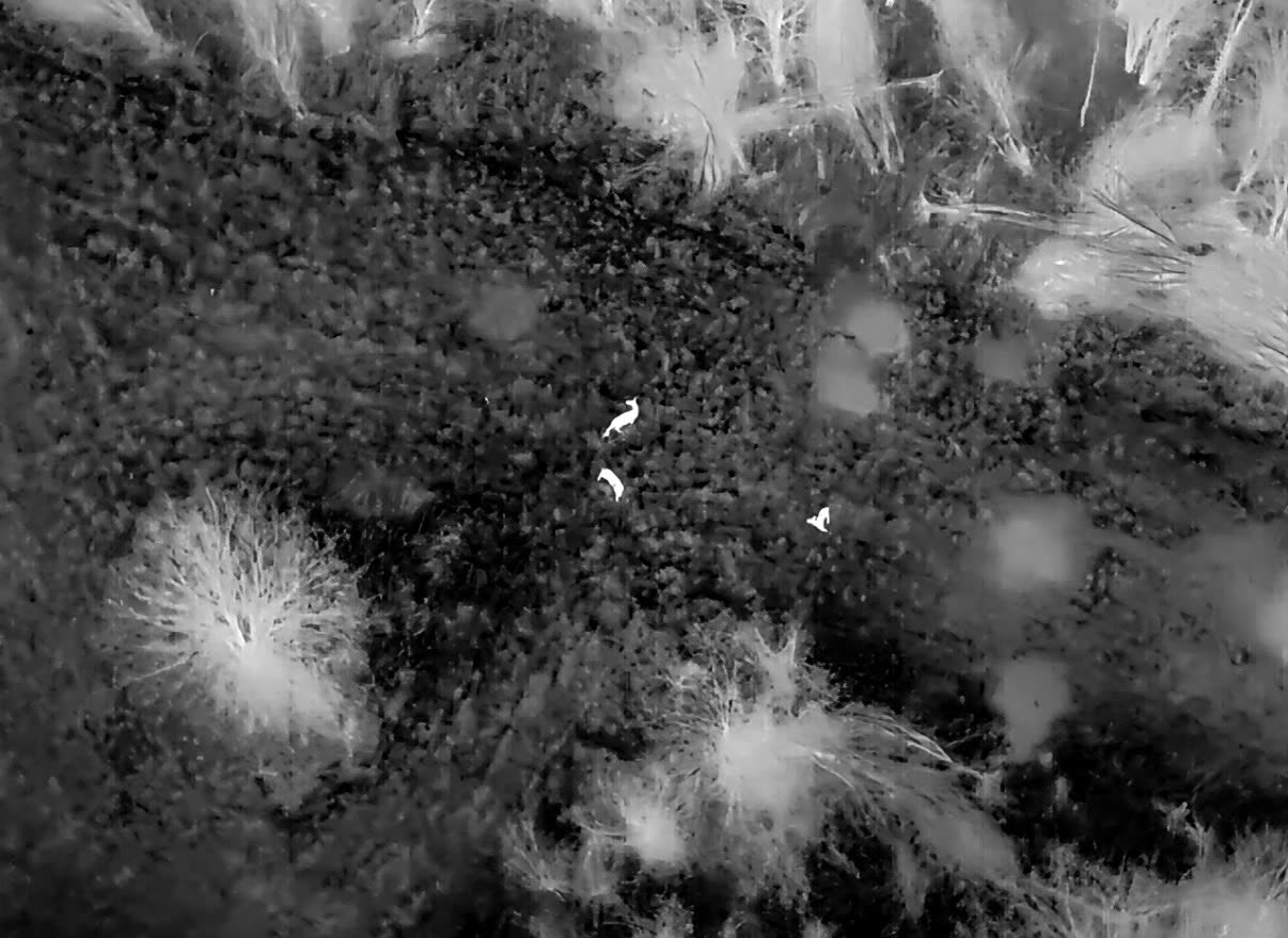
Thermal-equipped drones can help locate heat signatures across large or difficult terrain.
- Wildlife location
- Livestock location
- Search operations
- Property inspections
- Land monitoring
Document Your Habitat From Above
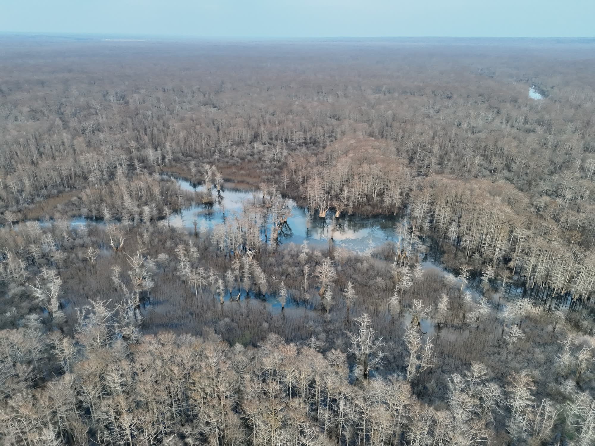
This clip was filmed over flooded timber during a habitat survey. Aerial footage like this gives landowners and wildlife managers a clear record of water levels, timber and cover, and overall habitat conditions — and how they change through the year.
Our wildlife surveys are for property management, habitat planning, and documentation — never for locating, driving, or disturbing game for a hunt. Every flight follows federal and state wildlife and drone regulations.
What Our Surveys Turn Up
Real photos from Apex Drone Solutions wildlife surveys — deer, bear, and bedding areas spotted from above.
Buck in the Hardwoods
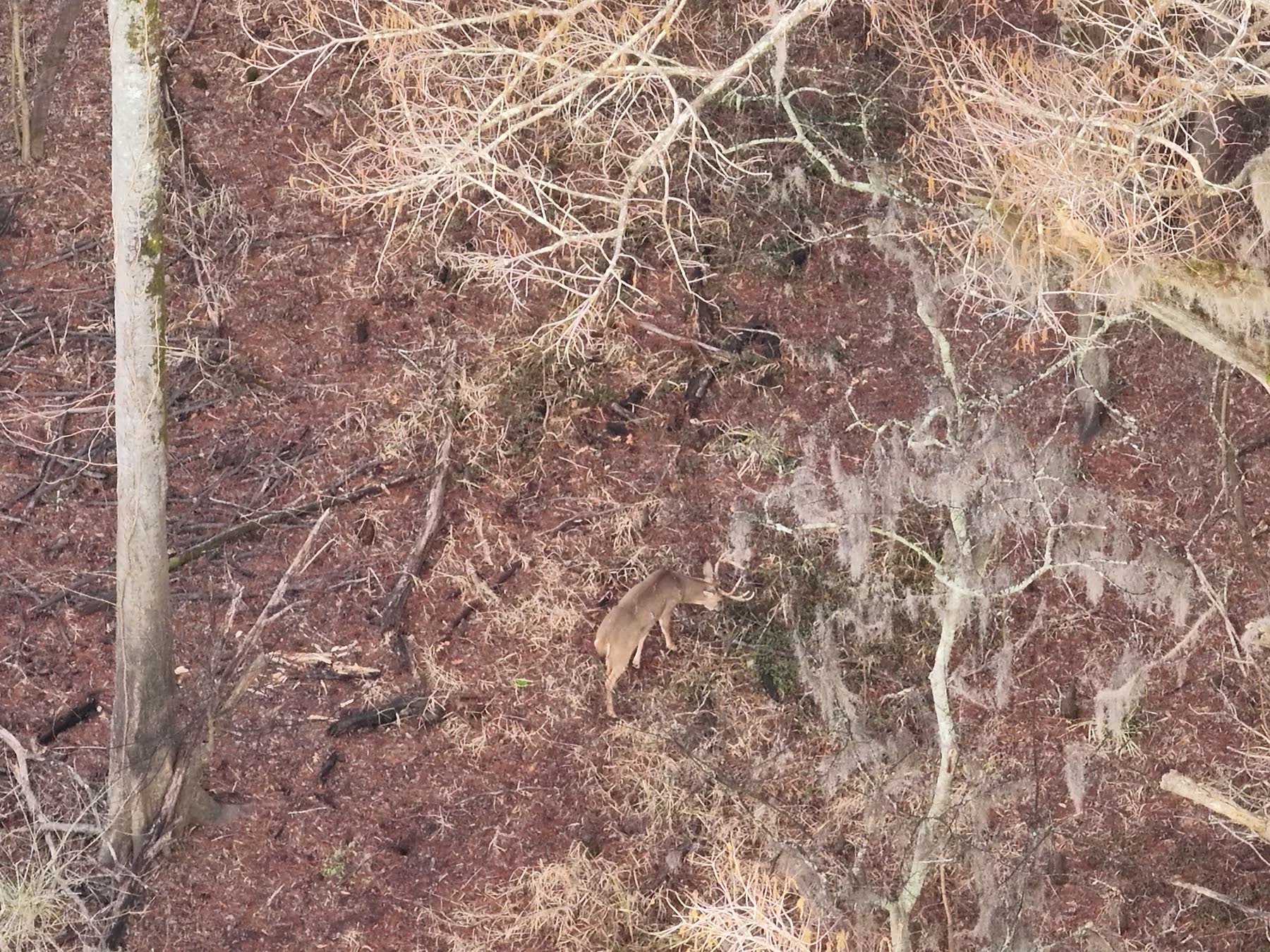
A mature buck spotted moving through a hardwood bottom under Spanish moss.
Black Bear Sighting
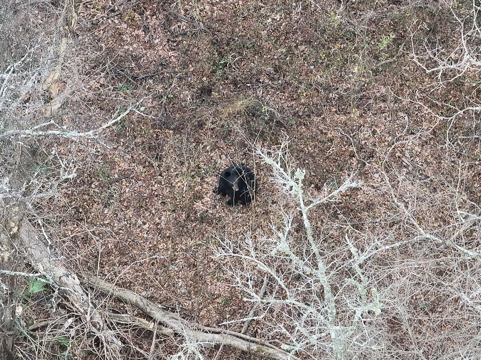
Know exactly what's using your property — including bear.
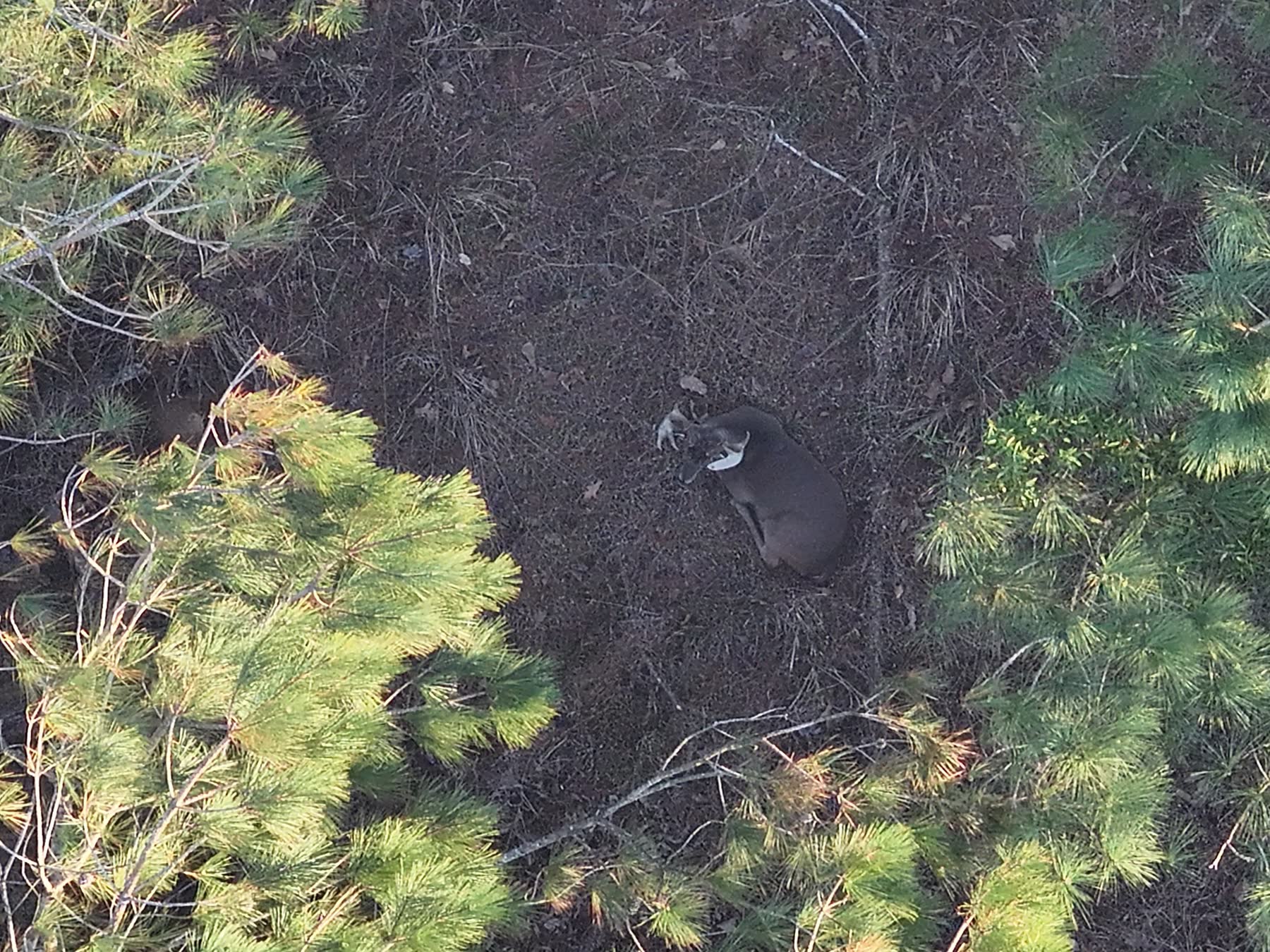
Bedding Area in the Pines
Bedded deer show up clearly from above, even in thick pine cover.
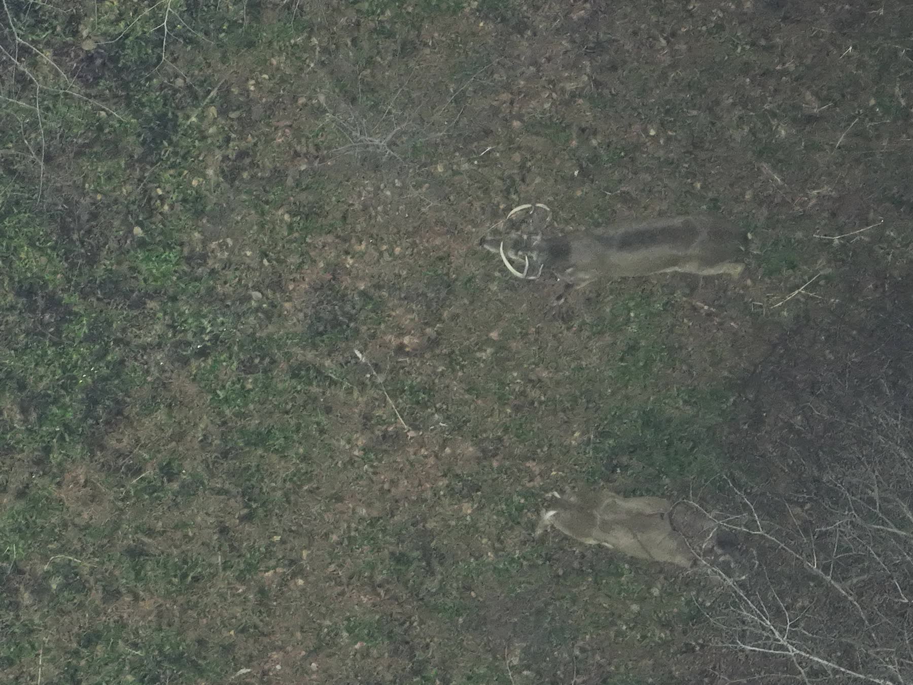
After-Dark Survey
A buck and doe observed during a survey flight.