
Simple, Upfront Pricing
No guesswork. Recovery calls start at $300, and you only pay the $100 recovery fee if we find your animal. Aerial mapping starts at $500, and wildlife surveys start at $1,000 — for properties of any size.
Choose the Service You Need
Every flight is operated by an FAA Part 107 certified remote pilot.
Thermal Recovery Call
+ $100 only if we successfully recover your animal
A mortally wounded deer you can't find after tracking, escaped livestock, or a lost dog — we grid-search your property with a thermal drone to find it fast.
- Thermal search with the DJI Matrice 4T
- Deer & bear: after legal hunting hours (LA rules)
- Timber, wetland & field grid searches
- Exact location & coordinates when found
Aerial Mapping & Property Survey
+ $0.50 per acre over 1,000
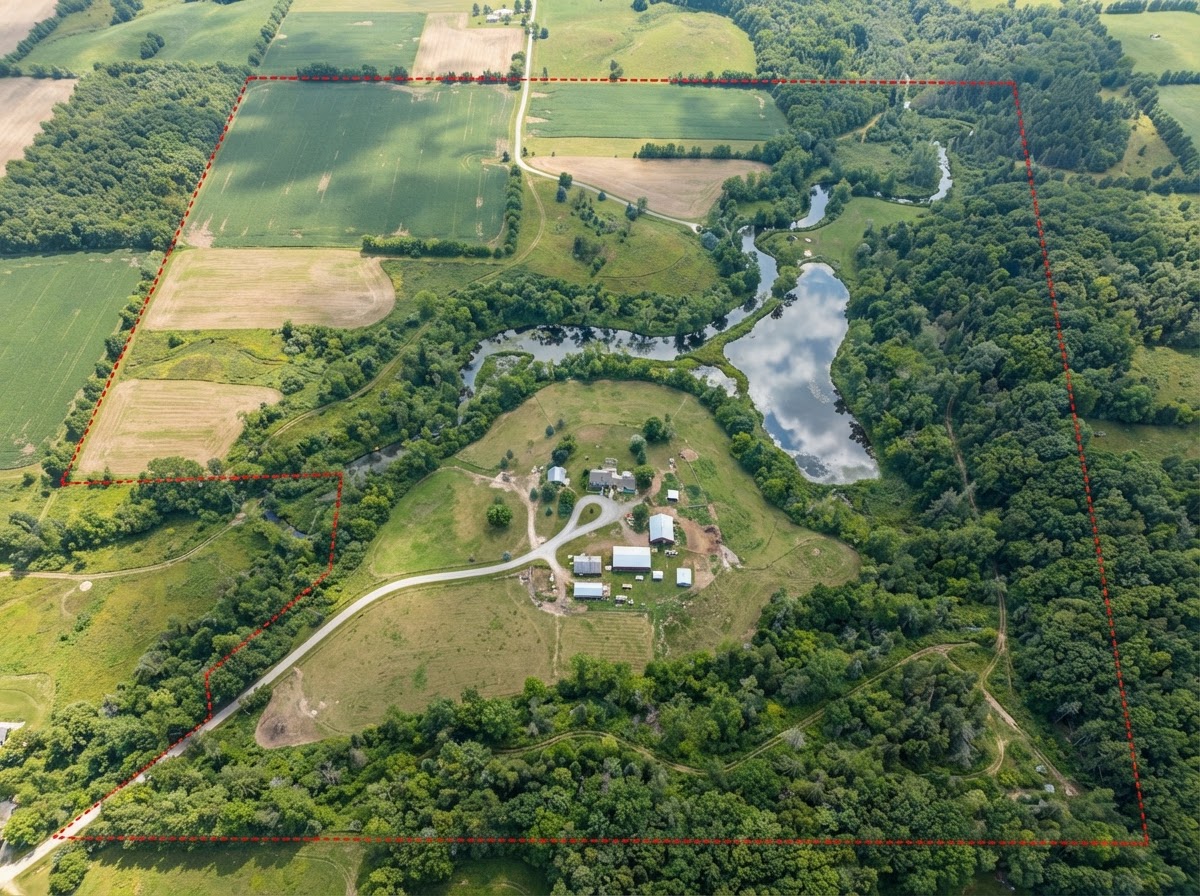
Aerial mapping and property documentation for hunting land, timber, and large acreage.
- Any acreage — no size limit
- Hunting property & timberland mapping
- Boundary & trail mark-ups
- Acreage & progress documentation
Wildlife Survey
+ $1 per acre over 1,000
Thermal and daytime wildlife surveys to see what's using your property and where.
- Any acreage — no size limit
- Herd & habitat documentation
- Thermal wildlife detection
- Wildlife population observations
Aerial Photo & Video
Professional aerial photography and video for land listings, recreational property, and construction progress.
- Land listing & property marketing
- Hunting & recreational properties
- Construction & development progress
- Edited photos and video
Know Your Survey Cost Up Front
We fly properties of any size — there's no acreage limit.
- Aerial mapping & property surveys: $500 minimum covers up to 1,000 acres, then $0.50 per additional acre.
- Wildlife surveys: $1,000 minimum covers up to 1,000 acres, then $1 per additional acre.
Pick a survey type and enter your acreage to see an estimate. We'll confirm the final quote after we review your property's location, terrain, and goals.
Survey Price Estimator
Estimate for the aerial mapping & property survey flight. Any acreage — we'll confirm your final quote after reviewing the property.
Request This SurveyPricing Questions
Ready to get started?
Send us your property details for a quote, or call now if you need a recovery.